Contact Jim by email:
or by cell: 410-598-8747
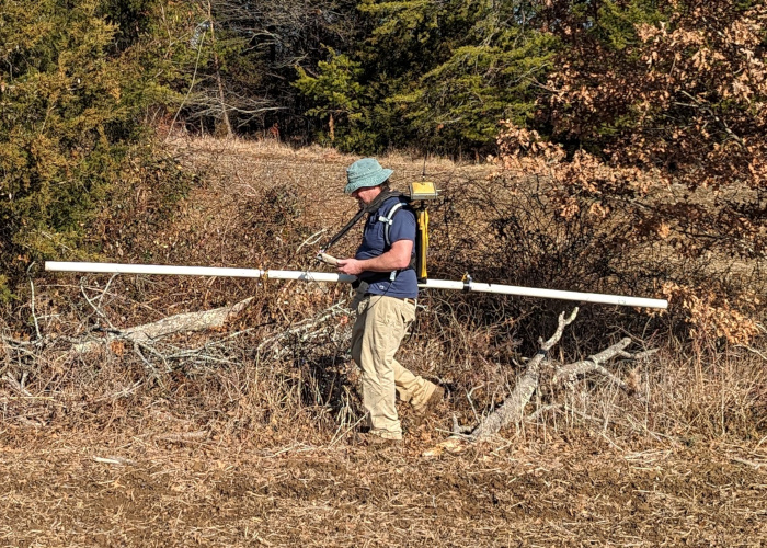
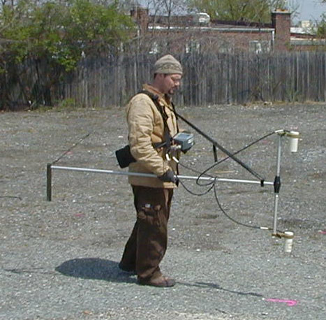
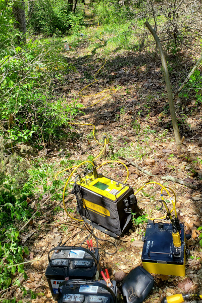
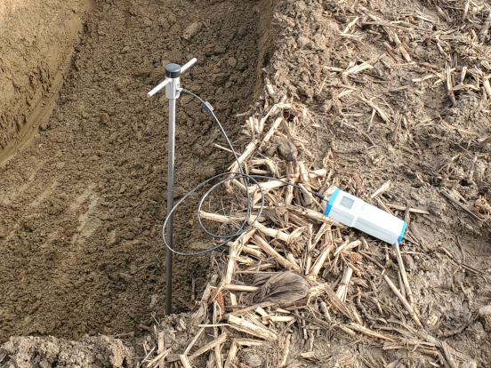
GPR is an electromagnetic device for imaging the shallow subsurface in the form of profiles representing changes in reflection amplitude that correlate with subsurface objects. Jim has successfully used it on hundreds of projects to search for Underground Storage Tanks (USTs), foundations, utilities, voids, asphalt delamination, conduits, stress cables, and archaeological features.
The photo shows the 400 MHz antenna mounted in the cart. High frequencies allow high resolution but limited penetration, while low frequencies allow greater penetration at the expense of resolution.
Electromagnetics can be used to search for buried metal or variations in ground conductivity. Typical devices include the Geonics EM31, EM34, and EM61. Jim has used these devices on dozens of engineering and environmental investigations, including Unexploded Ordnance (UXO) investigations (primarily for the US Army Corps of Engineers), karst bedrock investigations, and utility mapping.
Jim is operating the EM31 integrated with RTK GPS in the photo.
Magnetics is similar to Electromagnetics. Although magnetometers only detect ferrous metal, depth of investigation is typically somewhat greater. Devices include the Geometrics G-856 and G-858 magnetometers. Jim has used these devices on dozens of engineering and environmental investigations, including Unexploded Ordnance (UXO) investigations, UST searches, and archaeological sites. Jim has also used G-882 magnetometers (both single-sensor and transverse gradiometer) in the shallow marine environment at four sites to search for offshore UXO.
Jim is operating the G-858 in gradiometer configuration in the photo.
Seismic Refraction is a technique by which compressional sound waves (P-waves) are produced and recorded by a seismograph by use of an array of vibration sensors called geophones. Results are processed into profiles showing variations in P-wave velocity versus depth. Jim has performed hundreds of seismic refraction investigations for a variety of private clients as well as Maryland State Highway Administration (SHA). Applications include rippability studies, mapping depth to bedrock, and searching for voids.
The diagram shows a line of geophones set up on the ground surface, with the bedrock below an overburden layer.
In certain situations, it can be useful to combine seismic refraction with electrical resistivity.
ReMi is another seismic technique also utilizing the same equipment as for for seismic refraction, but no seismic source is used and the data are records of ambient noise. The results are processed into S-wave logs or profiles, rather than P-wave profiles in standard seismic refraction. ReMi has been used at many sites, primarily to quantify earthquake hazards (International Building Code 2000 Site Classification).
The photo shows geophones set up in a parking lot for a ReMi survey.
MASW is another seismic technique utilizing the same equipment as for seismic refraction as well as an active seismic source, but data are processed into profiles of shear wave (S-wave) velocity. Jim participated in early demonstrations of this technique with the developers at Kansas Geologic Survey (KGS), and applied it for several engineering studies including mapping bedrock along proposed water line alignments where a tunnel boring machine was to be used.
The person is using a sledgehammer to hit an aluminum plate on the ground as a seismic source in the photo.
Electrical Resistivity is a technique where variations in the electrical properties of the subsurface are measured and processed in order to infer geologic conditions. Soundings (1-dimensional logs), Profiles (2-dimensional profiles), and Models (3-dimensional combinations of profiles or integrated 3D data) are possible. The Advanced Geosciences Inc., SuperSting R8 is the primary instrument. Jim has performed all survey types and successfully identified subsurface voids, fractures, karst features, and groundwater conduits for investigations for proposed structures, at subsiding buildings, and at many quarry locations where groundwater intrusion to the bottom of the quarry pit is a costly problem. Single arrays consisting of up to 112 electrodes and over 2000 feet long are possible, where depths of penetration can approach 400 feet.
The photo shows the SuperSting R8, collecting data in a karst area in Virginia.
In certain situations, it can be useful to combine seismic refraction with electrical resistivity.
SP is a technique by which naturally occurring voltages in the subsurface are measured in order to detect the movement of groundwater, typically either along dam faces suspected to be leaking or in karst areas where groundwater conduits are present. Jim has successfully used SP at several dams and at many quarry sites.
Thermal resistivity of soils can be measured in situ using a thermal probe inserted directly into soil at a site.
The Hukseflux FTN02 Field Thermal Needle System is shown in use in a test pit.
Utility Designation involves the use of electromagnetic devices to mark out the surface location of underground utilities. This can be efficiently done to clear borehole locations to allow safe drilling and reduce the risk of striking an obstruction. Jim has worked with other utility companies in order to map utilities on larger sites.
Aerial photo analysis of historic imagery can be performed to gain insight into previous conditions at a site which may inform interpretation of current problems or aid in interpretation of other data. Jim typically looks at the photos in stereo to study topography, and may create anaglyphs. He then georeferences the photos in order to digitize relevant site features, if appropriate, to create shape files in GIS or CAD layers.